Trail Walking Le Haut-Bréda - Refuge de l'Oule - Croix et Lac du Léat - Photo

Refuge de l'Oule - Croix et Lac du Léat

© OpenStreetMap contributors
Length
Length
11.5 km
Max alt
Max alt
1903 m
Uphill gradient
Uphill gradient
975 m
Km-Effort
Km-Effort  
25 km
Min alt
Min alt
1089 m
Downhill gradient
Downhill gradient
975 m
Boucle
Boucle
Yes
Creation date :
2022-07-28 06:25:27.31
Updated on :
2022-07-29 17:07:31.092

(0 Reviews)

Walking
Walking
6h32
Difficulty : Very difficult

Scan this QR Code to open this trail in the SityTrail application

FREE GPS app for hiking

Logo SityTrail SityTrail
IGN / Geographical institutes

Download SityTrail from the App Store Download SityTrail from Google Play

Logo SityTrail SityTrail World

The world is yours!

Download SityTrail from the App Store Download SityTrail from Google Play Download SityTrail on Huawei AppGallery

About

Trail Walking of 11.5 km to be discovered at Auvergne-Rhône-Alpes, Isère, Le Haut-Bréda. This trail is proposed by GuyVachet.

Description

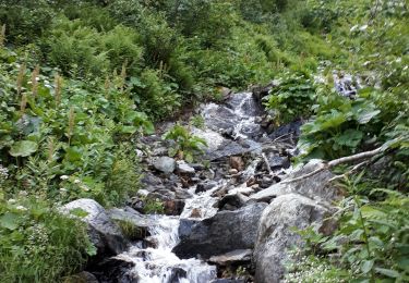
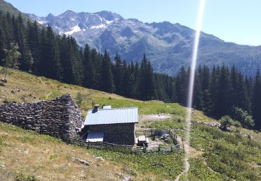
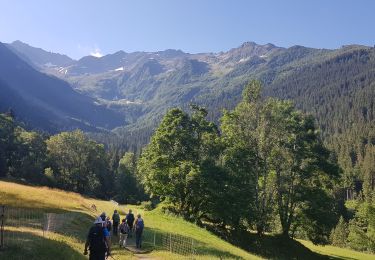
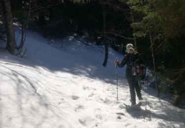
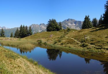
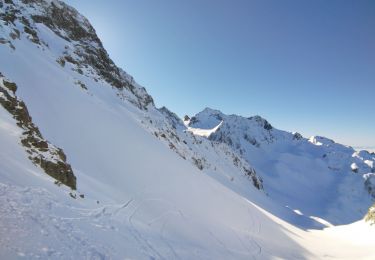
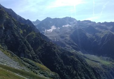
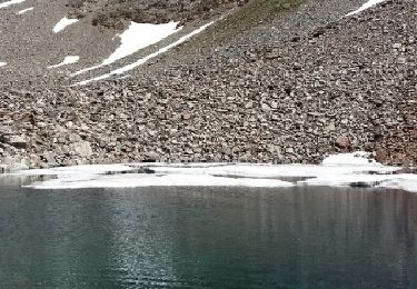
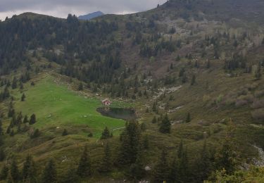
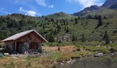
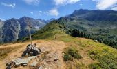
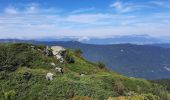
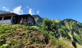
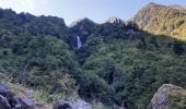
Boucle pour le refuge de l'Oule, la Pierre du Pin puis la Croix et Lac du Léat. La montée à partir du Gleyzin se fait bien en bénéficiant la fraîcheur du vallon pour déboucher au pied du refuge. Après un court-aller retour à celui-ci, la montée à la Pierre du Pin est plus exigeante mais là-aussi relativement abritée de la chaleur. A la Pierre du Pin, belle vue panoramique sur Belledonne et aussi la Chartreuse. La descente commence par la Croix du Léat et le Lac avant de repasser en forêt puis au Chalet du Bout, on trouve la descente sur le parking de départ.

Elevation profile

Photos

Positioning

Country:
France
Region :
Auvergne-Rhône-Alpes
Department/Province :
Isère
Municipality :
Le Haut-Bréda
Location:
Pinsot
Start:(UTM)
274315 ; 5024251 (32T) N.

Trails nearby

Trail Walking Le Haut-Bréda - Lac Blanc Lac de la Folle - Photo
Walking
GUIDE
nadinebondoux

Walking

Very difficult
(1)
Le Haut-Bréda, Auvergne-Rhône-Alpes, Isère, France
12.2 km | 28 km-effort
6h 59min
Yes
Trail Walking Le Haut-Bréda - Lac de Moretan avec bivouac  - Photo
Walking
nadd73

Walking

Difficult
Le Haut-Bréda, Auvergne-Rhône-Alpes, Isère, France
22 km | 44 km-effort
9h 4min
Yes
Trail Walking Le Haut-Bréda - Lac et Croix du Léat - Photo
Walking
patjobou

Walking

Difficult
Le Haut-Bréda, Auvergne-Rhône-Alpes, Isère, France
11.1 km | 22 km-effort
6h 20min
Yes
Trail Snowshoes Le Haut-Bréda - lac blanc de la grande valloire  - Photo
Snowshoes
Zasa

Snowshoes

Medium
(1)
Le Haut-Bréda, Auvergne-Rhône-Alpes, Isère, France
10.8 km | 26 km-effort
4h 30min
Yes
Trail On foot Le Haut-Bréda - Tour Pays Allevard - Photo
On foot
PRO

On foot

Easy
Le Haut-Bréda, Auvergne-Rhône-Alpes, Isère, France
5.4 km | 10.8 km-effort
2h 27min
No
Trail Touring skiing Le Haut-Bréda - Col de Morétan - Photo
Touring skiing
nadd73

Touring skiing

Medium
Le Haut-Bréda, Auvergne-Rhône-Alpes, Isère, France
11.8 km | 31 km-effort
5h 2min
Yes
Trail Walking Le Haut-Bréda - Montagne de Périoule - Photo
Walking
nadd73

Walking

Difficult
Le Haut-Bréda, Auvergne-Rhône-Alpes, Isère, France
12.2 km | 29 km-effort
4h 36min
Yes
Trail Walking Le Haut-Bréda - Lacs de la Valloire - Photo
Walking
Noiraude

Walking

Difficult
Le Haut-Bréda, Auvergne-Rhône-Alpes, Isère, France
16.1 km | 36 km-effort
7h 48min
Yes
Trail Walking Le Haut-Bréda - 02 juin 2023 glezin - Photo
Walking
Parodie69

Walking

Difficult
Le Haut-Bréda, Auvergne-Rhône-Alpes, Isère, France
13.8 km | 28 km-effort
6h 55min
Yes


Close
My subscriptions